Events: Festive 500 Day Four
(2015) Ride Distance: 50 Miles/ 170 Miles Remaining
At some point tonight I will have reached the zenith of the Festive 500, the mid-point if you will. It’s the downtime between days four and five. It’s the tipping point, the crossing of the threshold. Now it’s only sensible to finish due to the proximity of the finish compared to the starting line. I have decided on a celebratory way to end this business on New Year’s Eve.

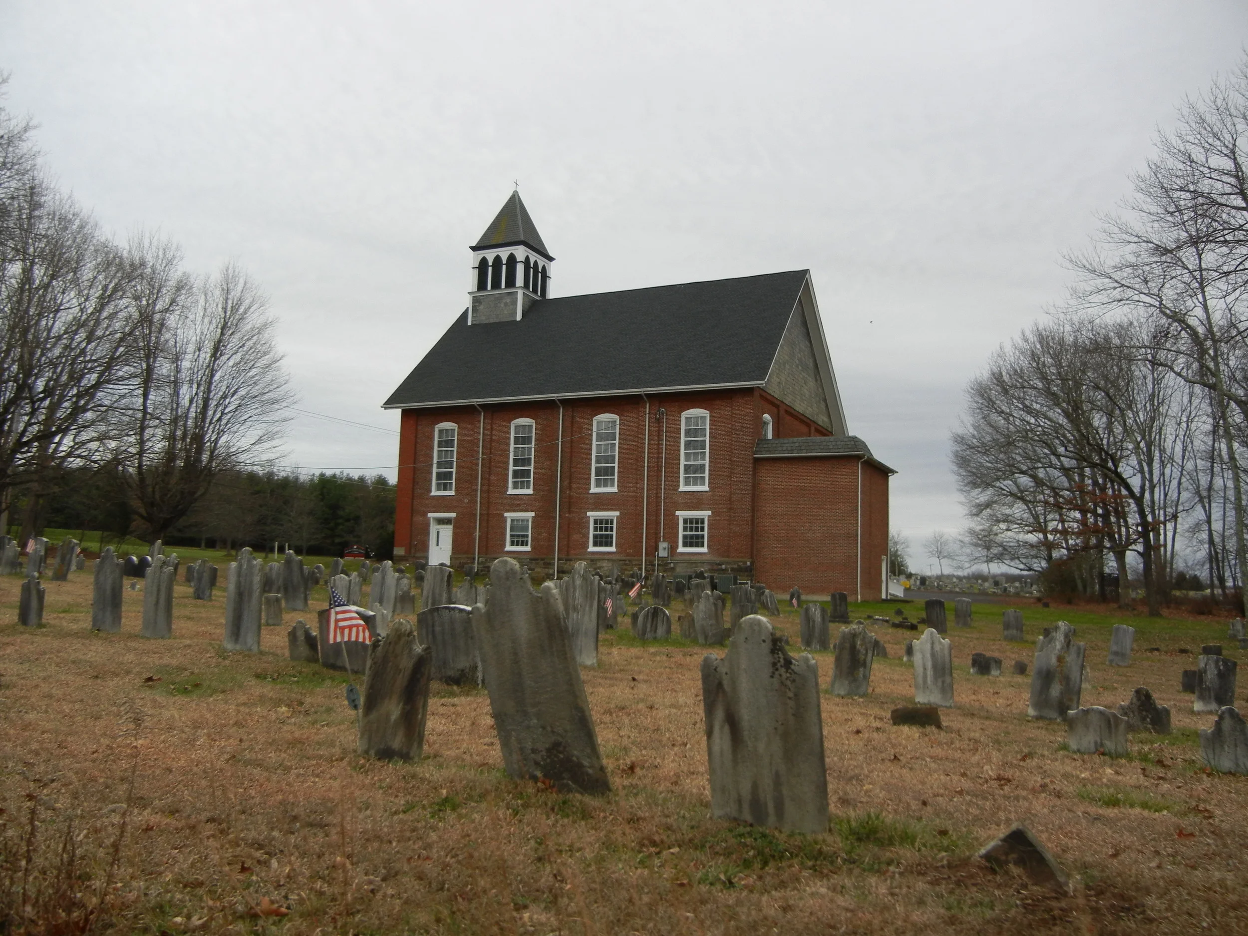
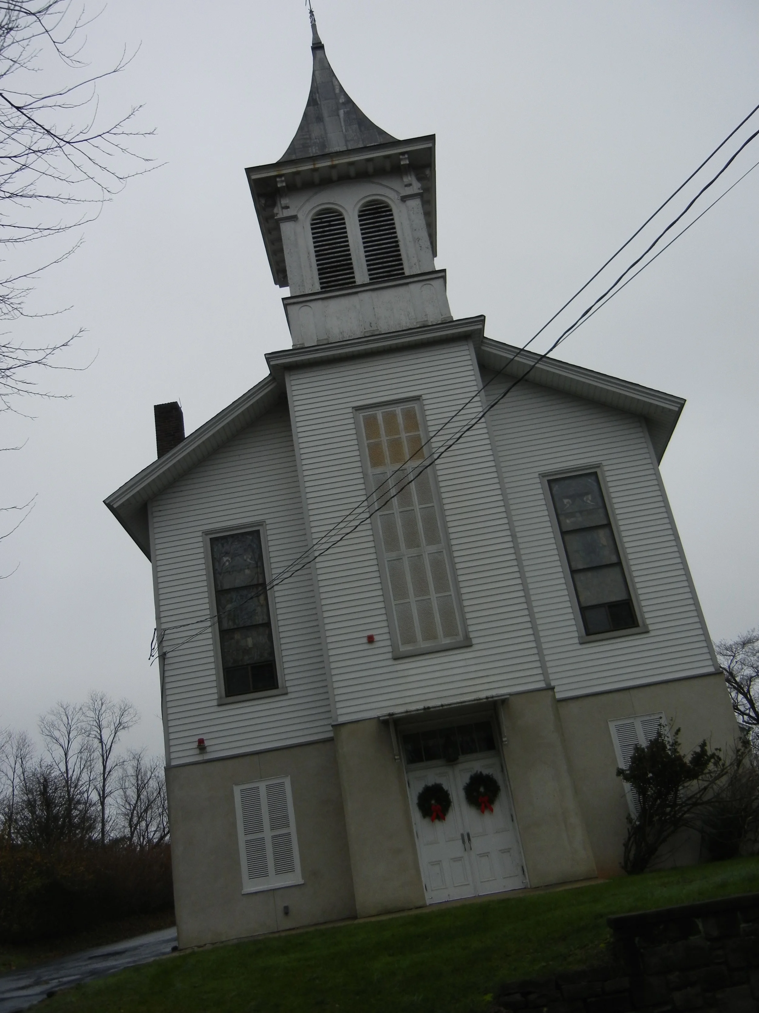
Mt. Gilead African Methodist Church sits atop Holicong Mountain. A stop on the Underground Railroad, most slaves heading north hid in caves nearby. This church is only open once a year for candlelight services on Christmas Eve.
Continuing with my Revolutionary War tour I managed to convince Mike that heading to Washington Crossing was a great idea. It was conveniently located behind Jericho Mountain, which is a heavy-hitting climb coming from the south. This time, though, we were coming from the north. This was the geographical feature Washington used to hide his movements. In fact, his headquarters is at the bottom of the elevation, a sprawling and impressive estate fit for a future president.

Mike passing the Mt. Gilead African Methodist Church cemetary.
Jericho is also where the Doan brothers hid amongst the smallish caves to avoid capture, to count their stolen goods, or to spy on subjects they deemed suitable to nab. It is a beautiful area that features long driveways to unseen houses or nearly- permanent farmhouses that are registered as historic. These are the houses the Doans could have hid out in. These are the houses that could have helped Continental soldiers. It’s been rumored the landowner privatized the area leaving Jericho Mountain to hold on to its secrets forever.

A sandstone carving dedicated by the citizens of Indiana that looks out over the area Washington commenced his crossing.
Descending the summit and emerging from the fog we turned toward the Delaware River. Perhaps Woodhill Road is the same route Washington took to scout his crossing. This road goes straight into the Park. History is dripping around these parts.
We rolled into Washington Crossing Park fresh after another successful crossing reenactment of the Delaware. The event happens in the morning; that differs from the real-life nighttime crossing. We opted for the bridge and its extremely thin car deck and matching thin walkway. Two people could not exist side-by-side on the wooden pedestrian deck. There were a lot of runners out today.
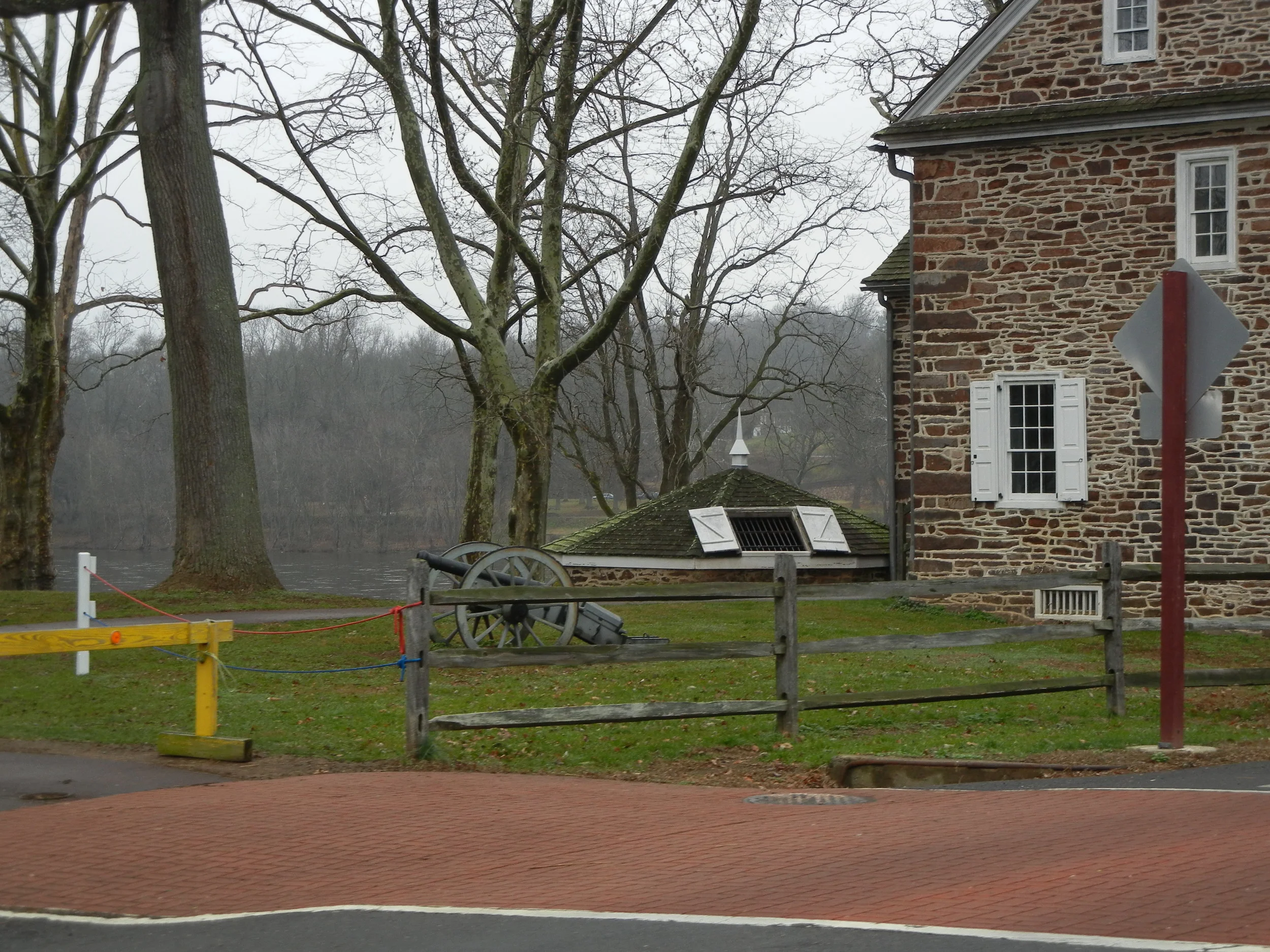
A posted cannon along with periodic housing. The open doors are a refridgerator of sorts during Colonial times.
Much like my first day – matching Moses Doan’s race to Trenton – Mike and I came back via Baldpate Mountain. It’s a long shallow ascent to a summit. Then comes a steep and long descent. Then it’s another ascent followed by an extremely steep descent into Lambertville. We followed the first day’s route via Route 29 heading north to Raven Rock, a long since disappeared town once the vehicle bridge was abandoned after two flooding destructions. It now features a simple pedestrian bridge.
The large facade of a Titusville, NJ church off of Church Road.
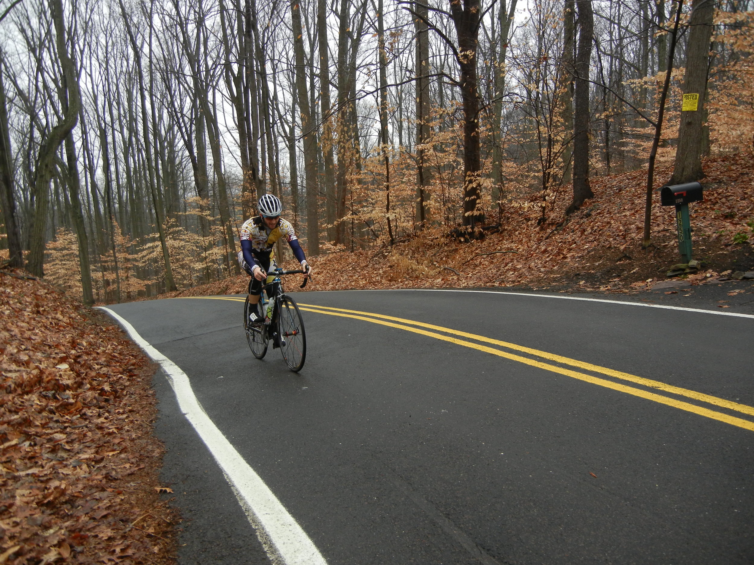
This is where Mike and I split up. He took the old carriage road Old Carversville Road. It’s unpaved. It passes one of the oldest lumberyards in America and more old properties and mills. I opted to stay north into Point Pleasant where I turned for home by willing myself up mile-long climb. More old houses. More monuments of history.
I solidified my plans to celebrate the Festive 500 as I neared the location I would use as the event’s unofficial finish line: The Gardenville Inn. It was here 232 years ago when a posse was formed to bring the Doans to justice. Visitors can still get libations here. And I decided that since I was following in the Doans footsteps around the region, it would only be fitting to select a corner seat in the Gardenville and toast to all those who were caught up in the calamitous formation of the United States with two fingers of neat American bourbon. This is the best way to finish the Festive 500.

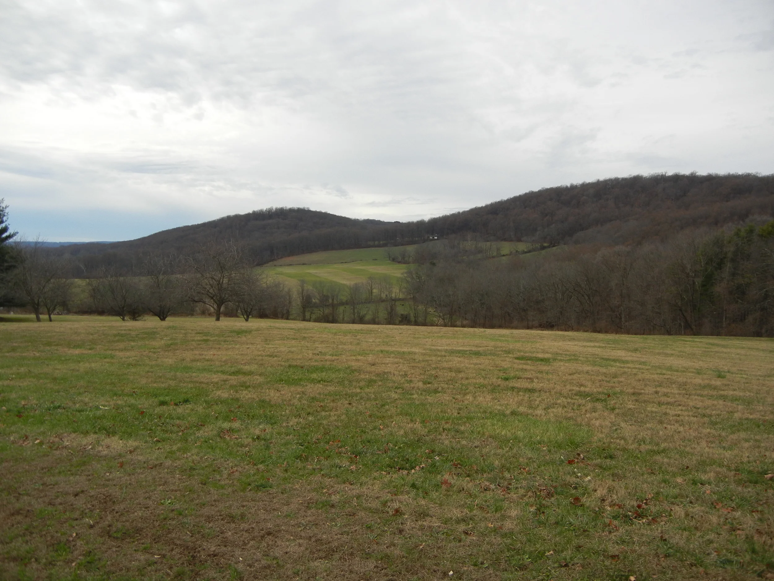
Baldpate, a hike and bike area, among the fog.